
Ride every street in your town
Every street goes on one map. Import the rides you already record, and each street lights up once you've ridden it.
Ride My Town is being built in the open. The map preview works today; accounts and ride logging aren't open yet.
See Holly Springs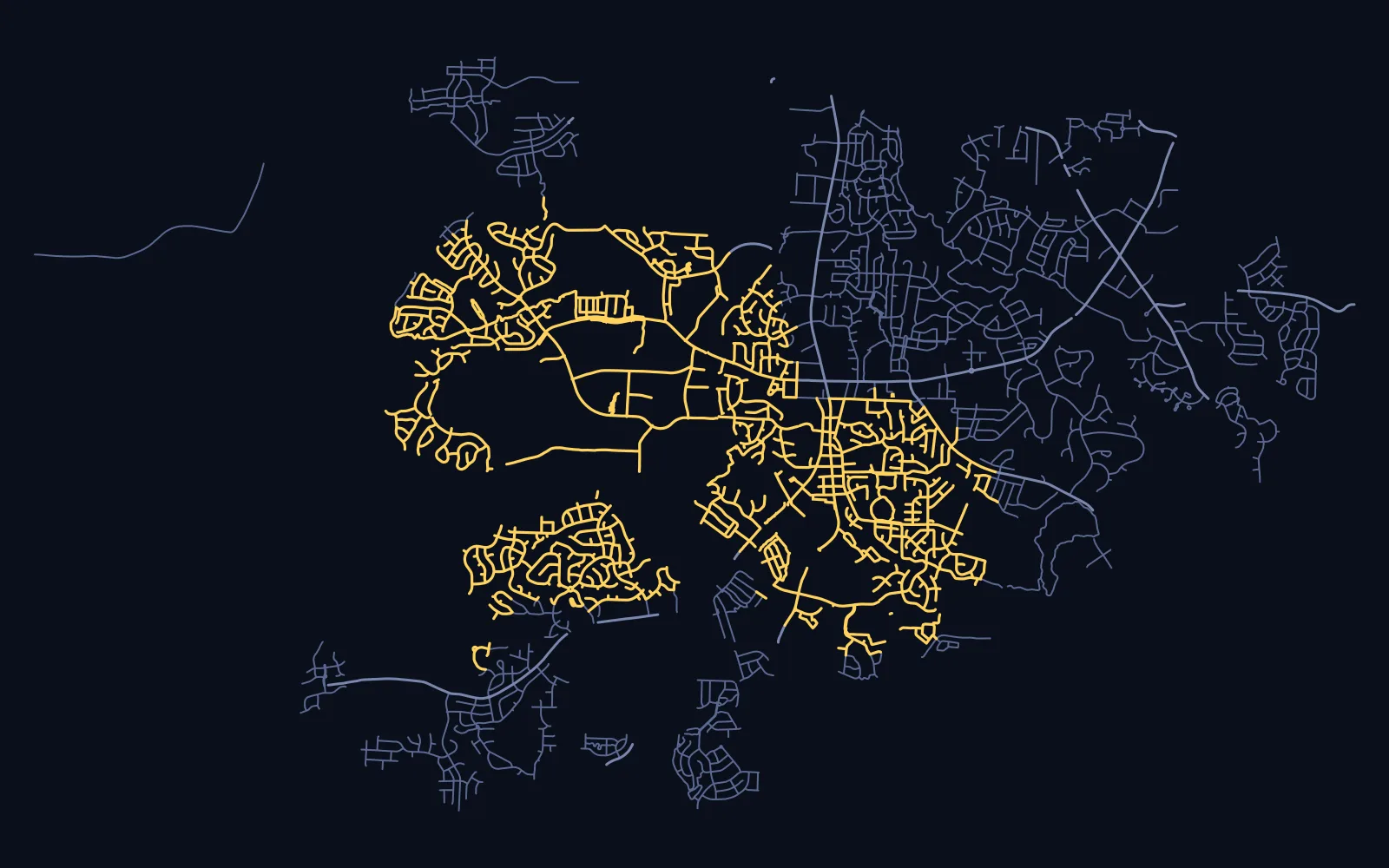
How it works
Keep recording with what you use now: a bike computer, a watch or your phone. Upload GPX, FIT or TCX files, or a whole export archive as one ZIP. We match each ride to the town's streets and count a street as done once you've covered most of it.
What it costs
Viewing your town's map is free. Logging rides is $3.99 a month or $29 a year, and $49 a year covers a household of up to five riders aged 13 and over. See pricing